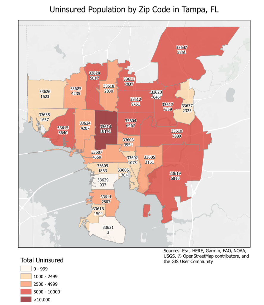
I’ve worked on several mapping projects before. Some with a company, some freelance projects, and some volunteer mapping as well. Below is an example of a chloroplethic map I made from a freelance project:
California Ozone Mapping
As part of one of my online courses, I created a map that estimates Ozone levels in California, USA and some examined its correlation amongst other socioeconomic factors like income. I used zonal statistics and interpolation techniques to determine values across the states. Below is the final map:

Besides making some maps for different projects, I’ve also done some mapping for emergency response services. I’ve been helping research COVID-19 testing centres in the New Jersey, USA area and mapping them for the community, helped with emergency response mapping for the 2019 Bushfires in Australia, and assisted with mapping in southern India in response to cyclone Gaja.